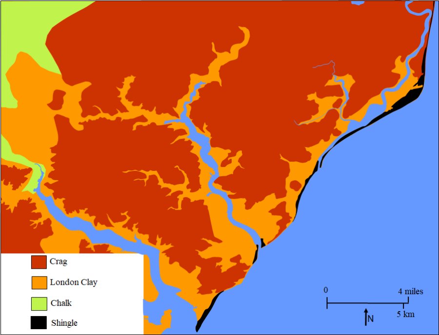
Map showing the extent to which rivers and streams have cut into the sedimentary deposits
The map on the right shows the surface layer of the sedimentary deposits around the upper part of the Deben estuary.
|
Map showing the extent to which rivers and streams have cut into the sedimentary deposits |
||
|
The map on the right shows the surface layer of the sedimentary deposits around the upper part of the Deben estuary.
|
||
|
|
||
|
|
|
|
|
|
|
|
| 02B Return to Main Text | ||
| Last edited 12 Aug 23 | ||