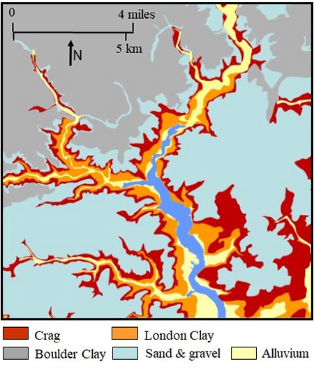
Maps showing how rivers and streams have cut into the material deposited by the ice sheet
The map on the right shows how the rivers and streams have cut into the Bolder Clay and the upper layer of Crag. Below the Crag rivers and streams have cut into the under-layers of London Clay and Alluvium.
The geological data on which the map is based also shows the extent to which alluvium carried by the rivers and streams has built up along their banks. In some cases the alluvium has led to the formation of extensive areas of salt marsh many of which have been reclaimed by building river walls.
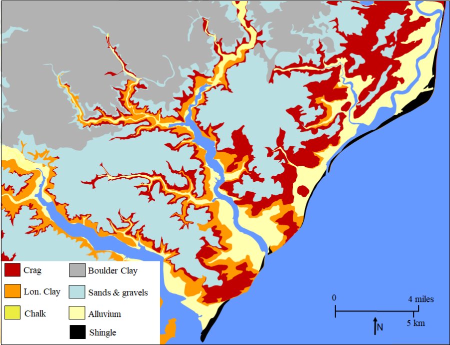
A similar map for the whole of South East Suffolk is given below.